
- The innovative initiative launched in April 2024 offers the first public annual collection of land cover and land use maps from 2000 to 2022, providing unique insights into the evolution of Chilean territory amid climate change and megadrought.
Over half a million hectares of Chilean native forest were lost in the Central-South zone of the country, between Valparaíso and Los Lagos, in the last two decades. This is one of many findings from the MapBiomas Chile platform (chile.mapbiomas.org), which compiles data on wetlands, ice and glaciers, forest cover, human intervention in territories, forest plantations, agricultural and forestry activities, grasslands, and shrublands, among others.
The initiative stems from collaboration among specialists in geospatial analysis, remote sensing, geographic information systems (GIS), and programming. Using NASA's Landsat satellite imagery, cloud processing, and AI classifiers operated via the Google Earth Engine platform, this project has established a long-term strategic partnership with Google to fulfill its mission.
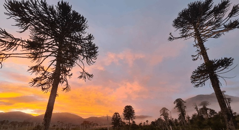
Thus, in the Central-South zone, the most significant change is the decline of native species from Mediterranean climates. Since 2000, nearly 8% of native forest area (500,000 ha) has been lost, despite the national total exceeding 16.7 million hectares. However, this contrasts with the situation in Patagonia, Aysén, and Magallanes, where results show an increase of 450,000 hectares, offsetting the loss in Central-South Chile.
Bare or desert soils account for 24% of the country, concentrated in the northern zone, where they cover over half the territory (56%). Another key finding concerns ice and glaciers, with a net loss of nearly 10% since 2000—equivalent to over 410,000 hectares. Additionally, 80% of glaciers are concentrated in Patagonia.
Academic Jaime Hernández, general coordinator of MapBiomas Chile, highlights the importance of these unprecedented, publicly accessible datasets. "Annual land cover and land use maps allow us to assess the spatiotemporal evolution of human impact on the territory. This is a crucial resource for decision-makers to have robust technical support regarding the consequences of natural resource management policies, urban settlements, or, conversely, the absence of such policies," explains Professor Hernández.
Meanwhile, MapBiomas Chile researcher Valentina González emphasizes the advantage of easily accessible, free, and open data for all interested parties. González adds, "This information can be used by everyone—access is simple via the website, and it can serve multiple purposes: evaluating landscape changes, monitoring land cover of interest, making territorial decisions, among others."
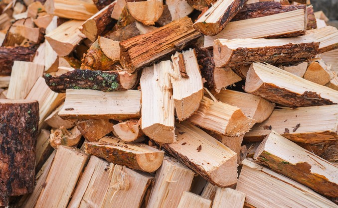
Among the most significant changes are a 39% expansion of forest plantations, covering nearly 3.1 million hectares. Agricultural land uses occupy 4.8 million hectares, equivalent to the size of the Los Lagos region. Additionally, urban sprawl increased by 33% between 2000 and 2022, adding 127,000 hectares.
"MapBiomas follows a logic of continuous improvement. This means each collection will enhance data precision and accuracy. Future collections will include more map classes and add modules for country-specific topics, such as monitoring wildfires and water bodies annually and monthly," concludes Professor Jaime Hernández.
About MapBiomas Chile
Since its inception in 2015 in Brazil, MapBiomas has expanded across South America and into Indonesia. In 2022, Chilean institutions joined, forming the MapBiomas Chile Network, composed of experts from the University of Chile, University of Concepción, University of La Frontera, University of Magallanes, and WWF Chile. The initiative does not seek to replace official monitoring platforms or data sources but rather to complement them.
Both the generated data and the adapted processing codes and methodology will be open-access, free, and unrestricted—providing an independent tool backed by academia and contributing to nature conservation, land planning, water resource monitoring, agriculture, and other sectors.
The initiative also presents a unique opportunity to understand land use and cover dynamics more efficiently and up-to-date. MapBiomas asserts that this is achievable through cloud processing capabilities, freely accessible satellite data, and high process automation, supported by active expert community participation.
Source:www.forestal.uchile.cl


Comments (0)
No comments yet. Be the first to comment!
Leave a comment