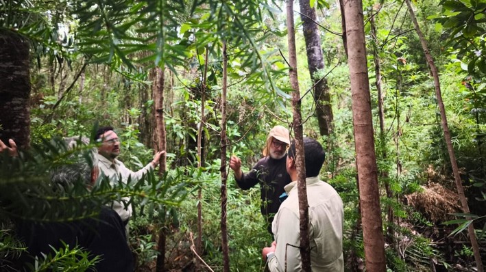
MapBiomas Chile, a collaboration among academics from the University of Chile, the University of Concepción, and the University of La Frontera, published Collection 2.0 of annual land cover and land use maps from 1999 to 2024.
Using cutting-edge technology such as artificial intelligence and cloud processing, the initiative provides a detailed and accessible view of changes in the Chilean landscape, focusing on conservation and sustainable management of natural resources. Additionally, it relies on cloud processing to analyze NASA's Landsat satellite images.
The results of Collection 2.0 are significant: 19.9% of Chile's surface is covered by native forest, representing approximately 15 million hectares. Over the past 25 years, there has been a net gain of 240 thousand hectares of forest, a 1.6% increase. On the other hand, forest plantations occupy 4% of the national territory, with about 3 million hectares.
The analysis also highlights the country's geographical and ecological differences, from the northern deserts to the lush southern forests. Furthermore, it has been observed that areas without vegetation, which constitute 28.5% of Chile, are predominantly arid and high-altitude environments. Patagonia, in particular, hosts 84% of the country's ice and snow, which have shown a decreasing trend over time.
MapBiomas Chile not only provides updated and open data for decision-making in areas such as water management and ecosystem conservation but also offers an intuitive and powerful platform for data analysis. Users can conduct their own analyses, download results, and create dynamic visualizations, representing a significant advancement in the availability of Earth observation data for non-specialist users.
The publication of Collection 2.0 establishes itself as an essential tool for territorial planning and the formulation of public conservation policies in Chile. MapBiomas Chile is part of a broader network that started in Brazil and has expanded to other countries, always aiming to complement official monitoring platforms and contribute to nature conservation and sustainable planning.
The MapBiomas Chile initiative is an example of how academic collaboration and the use of advanced technologies can enhance our understanding and management of the environment. With freely accessible data and tools, MapBiomas Chile is democratizing environmental information and empowering informed decision-making for a more sustainable future.


Comments (0)
No comments yet. Be the first to comment!
Leave a comment