
A total area of 11.7 million hectares, representing 15.5% of the national continental area and covering 5 regions of the country, was the achievement of the updates carried out this year by the National Forestry Corporation (CONAF) within the framework of the Survey of Vegetation Resources and Land Use in Chile.
The updates, coordinated by the Monitoring Department of the Forest Enforcement and Environmental Assessment Management, corresponded to the regions of Maule, Ñuble, Biobío, La Araucanía, and Los Ríos, and reflected an area of 6,344,913.4 hectares under the "forests" use (which includes forest plantations, native forest, and mixed forest) reaching a monitored area of 33.6% of the national total, providing an updated view of the national territory and delivering data that allows for an integrated and legal view at the country level of the state of vegetation resources.
Regarding the results, the Forest Plantations use covers a total area of 3.1 million hectares nationwide (includes harvest areas, storage yards, ravines, and forest roads) with the recently updated regions, from Maule to La Araucanía, concentrating 80% of this use, with an approximate area of 2.5 million hectares. The regions of Biobío, Maule, and La Araucanía are the main producers of this resource, with 884 thousand hectares, 588 thousand hectares, and 656 thousand hectares, respectively.
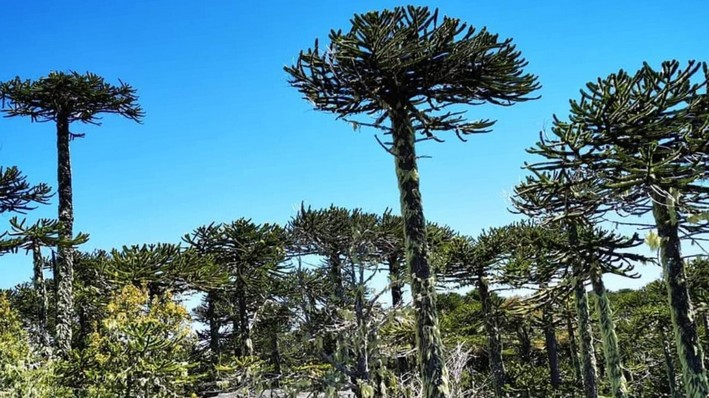
Regarding the Native Forest use, the La Araucanía Region has 1 million hectares contributing to the sub-use with 6.7% of the national total, followed by the Los Ríos Region with 938 thousand hectares, the Biobío Region with 615 thousand hectares, Maule with 598 thousand hectares, and the Ñuble region with 266 thousand hectares. Regarding the forest type with the largest updated area, it corresponds to Roble-Raulí-Coihue with an area of 1.4 million hectares, followed by the Roble-Raulí-Tepa type with 439 thousand; the Lenga forest type with 492 thousand hectares, and the Araucaria forest type with 215 thousand hectares, among the main ones.
CONAF's Survey of Vegetation Resources and Land Use constitutes the main source of permanent and public national-level data to describe land use, especially oriented towards the identification, characterization, and location of the different existing vegetation formations in the country. It maintains a standardized database that allows for the management and permanent updating of information at the land use and sub-use level, and also accounts for characteristics of native forest such as structure, coverage, forest typology, dominant species, and conservation category.
The improvements in these updates, in technical terms, correspond to the incorporation of the forest definition, according to Law No. 20,283, greater detail in the mapping of forest use and vegetation formations, mapping with spatial adjustment and improvements in the detection of forest species of great environmental, cultural, and economic importance such as araucaria, alerce, raulí, and lenga, resulting in an improvement in the detection and distribution of native forest in these 5 regions.
Over time, CONAF has focused its efforts on steadily improving the quality of the cartographic representation of land use, incorporating new technologies through satellite images and automated algorithms, strengthening the collection and validation of information in the field. This process has involved the modernization of procedures and the adjustment of available technical criteria, obtaining more detailed cartography, as well as an improvement in the description of vegetation resources and land uses. All this while maintaining the same methodology used, known as the "Land Occupation Chart" in each of the regional updates.
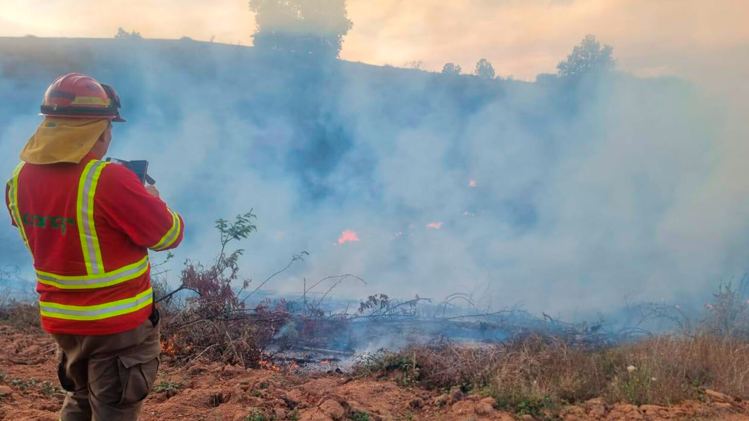
The advancement of technologies applied to the national forest monitoring system has allowed for the identification and management of a greater diversity of plant species, which translates into a direct impact on the prevention of forest fires and on the efficiency of forest and environmental enforcement tasks.


Comments (0)
No comments yet. Be the first to comment!
Leave a comment