
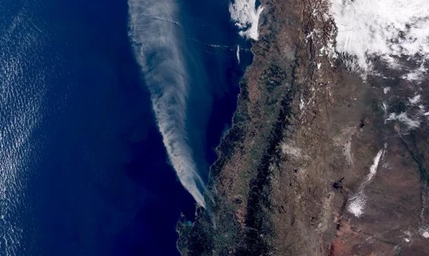
"In the context of the recent wildfires, it is pertinent to address the problem from an academic perspective, considering the Wildland–Urban Interface (WUI), a concept used internationally and equivalent to the wildland-urban interface: the space where human settlements border or intermingle with areas of combustible vegetation," said architect Claudio Vergara, academic and coordinator of the Diploma in Geomatics at the Faculty of Architecture of the University of Valparaíso.
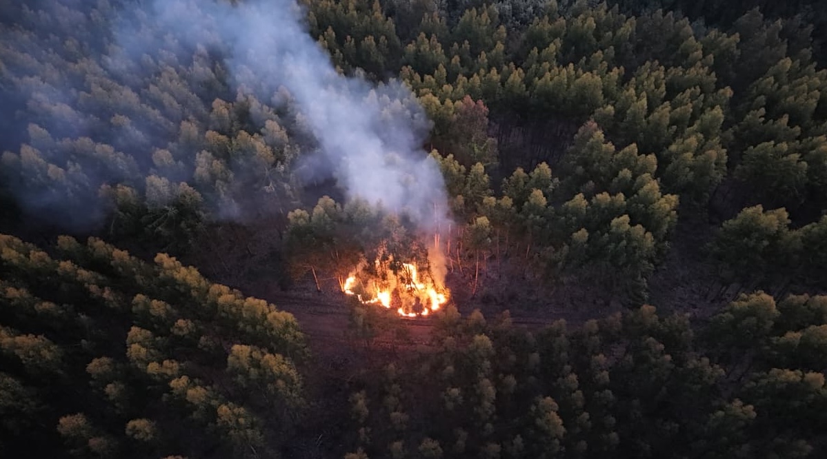
"Comparative evidence shows that the most destructive fires do not occur solely in rural areas, but precisely in this interface, where fire ceases to be just an environmental phenomenon and transforms into an urban risk. This risk depends not only on the occurrence of fire, but on the exposure of homes, infrastructure, and people, as well as their vulnerability, determined by urban design, materials, location, and territorial planning," he explained.
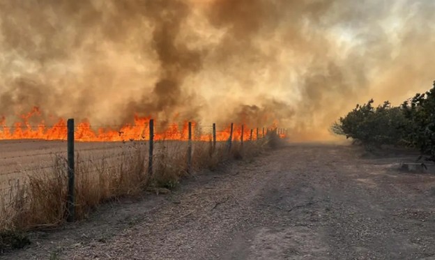
A Master in BIM Management, the academic emphasized that "from a contemporary planning perspective, addressing fire risk in the wildland-urban interface is approached in a multi-scalar manner. At the property scale, international experiences—such as those developed in Canada and Nordic countries—promote the creation of management zones or buffers around buildings (defensible space), reducing the continuity of vegetative fuel in ranges from the first few meters up to approximately thirty meters, adjusted according to slope and local context."
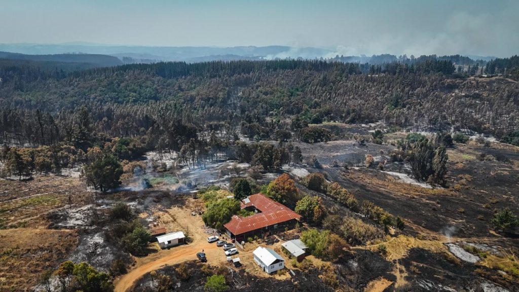
"At the neighborhood scale, the emphasis is on the continuity of these zones, accessibility for emergency response, and the existence of safe evacuation routes. At the territorial scale, the focus is on land-use patterns, the location of urban expansion, and landscape fragmentation," he added.
Vergara indicated that "from this perspective, wildfires in the wildland-urban interface should not be understood solely as natural disasters, but as the result of planning decisions that have historically treated urban and rural areas as separate realms. Integrating fire risk into territorial planning instruments is now a basic condition for moving towards safer and more resilient territories."
Comments (0)
No comments yet. Be the first to comment!
Leave a comment