
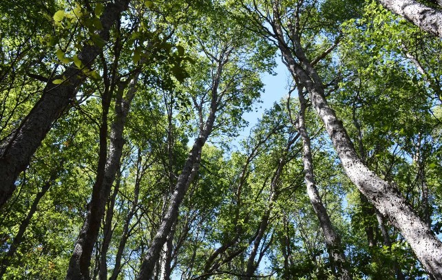
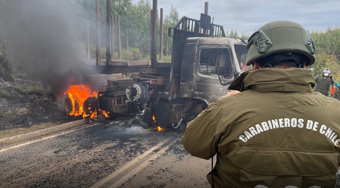
Prior to combating wildfires, it is always better to prevent them or at least anticipate the main combustion hotspots in the hills and forests.
With support from the Regional Government through the funding of a project from the Innovation Fund for Competitiveness, it was possible to create a fuel model using radars, allowing for the earliest possible anticipation of a potential fire outbreak, thus foreseeing combustion risks in the forests.
For the Regional Governor of Maule, Pedro Alvarez-Salamanca, "the initiative is not only good because it helps avoid fires, aiding in detection and prevention, but it is also very important that this work was developed by researchers from the region, in this case from UCM."
"It benefits us that projects and good ideas generated in Maule stay in Maule. Subsequently, we can transfer them to neighboring regions," he emphasized.
Thanks to the work of researcher Dr. Antonio Cabrera from the Universidad Católica del Maule, an academic at the Center for Advanced Studies of Maule and the Dryland Center, through the execution of an FIC project, the initiative represents a concrete advancement for wildfire management in the region.
"We have developed a model that allows updating fuel model cartography on user demand, integrating satellite images and radar data, which significantly optimizes resource use," explained Cabrera.
Unlike traditional methodologies, this approach reduces the need for extensive field campaigns by using simpler and more cost-effective fieldwork without losing technical precision. This provides CONAF with updated, timely, and scientifically robust tools to support prevention, planning, and decision-making in the face of wildfires," the researcher pointed out.
"For the National Forestry Corporation, this project is strategic as it equips the region with updated fuel cartography, a fundamental tool for decision-making in mitigation and firefighting actions," added the Regional Director of CONAF, María Isabel Florido.
Integrating this data into simulation systems achieves a more accurate projection of scenarios, optimizing resource allocation and operational effectiveness," she added.
"It also allows CONAF to precisely monitor transitions in vegetation structure, such as those caused by forestry harvesting operations, ensuring that risk maps reflect the operational reality of the territory."
The ongoing project is undoubtedly one of the most innovative initiatives in the country for wildfire prevention, and optimal use is expected, with the potential for eventual transfer to other regions.


Comments (0)
No comments yet. Be the first to comment!
Leave a comment