

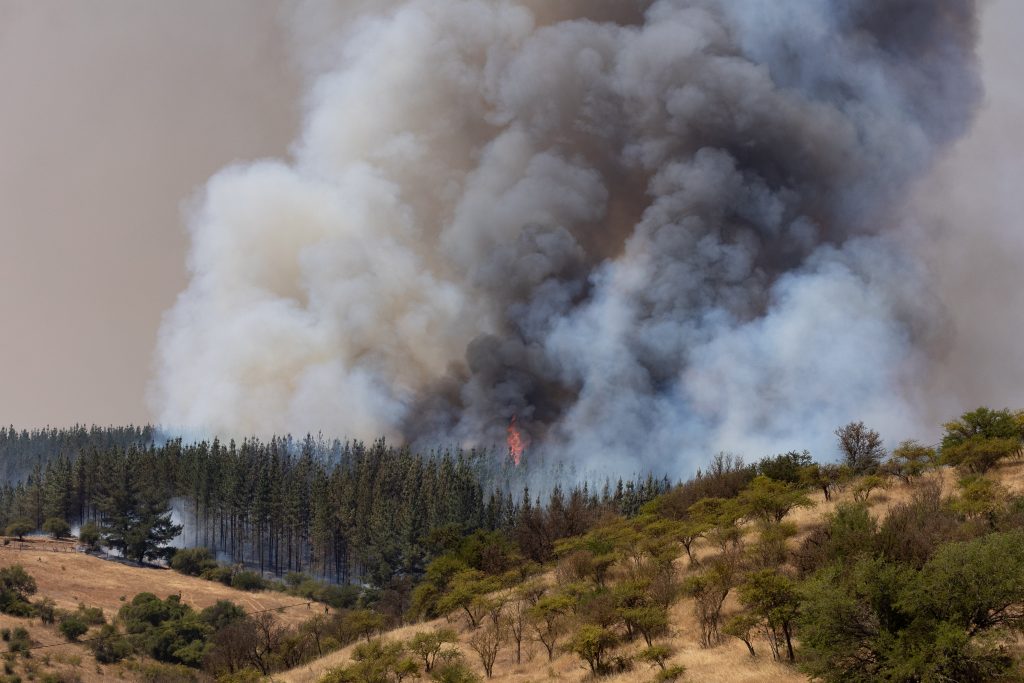
The Biobío Region concentrates some of the areas with the greatest exposure to forest fires in the country. This is revealed by a study from the Ministry of Housing and Urban Development (Minvu), which identified Curanilahue as the commune with the most hectares in the very high-risk category, with a total of 13,336.8 hectares.
The report, prepared based on the analysis of 65,442 fires recorded between 2015 and 2025, also placed Los Álamos in third place nationally, with 11,344.4 hectares exposed. These are joined by Tomé, with 10,408.7 hectares; Lebu, with 10,213.1; Penco, with 5,337.3; Los Ángeles, with 5,048.3; and Cañete, with 4,348.3 hectares.
These figures place Biobío as one of the priority territories for strengthening prevention and preparedness measures ahead of the next forest fire season, especially considering the proximity between inhabited areas and vegetation areas.
The diagnosis is part of Minvu's 2026-2027 Fire Prevention Plan, which identified 64 communes in the country with more than one thousand hectares in very high-risk zones and prepared a ranking of the 20 territories with the largest exposed areas. Curanilahue tops the list, followed by Collipulli, in La Araucanía.
Prevention in interface zones
The ministerial strategy contemplates three lines of action: identification of Interface Risk Zones (ZRI), community preparedness, and preventive clearing of land with the presence of combustible material.
The first axis considers delimiting a 250-meter strip in sectors where urban areas come into contact with forest surfaces or vegetation. To establish these exposure levels, factors such as environmental conditions, housing vulnerability, and territorial threats will be analyzed.
The Minister of Housing and Urban Development, Iván Poduje, explained that the objective is to anticipate emergency scenarios and coordinate the work of public agencies. The planning also contemplates training communities through teams deployed in 266 neighborhoods of the Quiero Mi Barrio program and 127 rural localities of the Program for Small Localities.
The third component aims to reduce the accumulation of vegetation and other combustible elements. To this end, Minvu will coordinate clearing work on Serviu land and may intervene in private properties when risk conditions justify it, in addition to carrying out reviews together with Conaf.
Settlements are also exposed
The study also identified significant exposure of precarious settlements and sectors where Minvu develops housing programs. Of the 1,156 camps monitored nationwide, 817 are located in high or very high-risk zones, equivalent to 71%.
Meanwhile, 213 of the 397 neighborhoods and small localities considered in the analysis present high levels of exposure, representing 53%.
The background reinforces the need to incorporate fire risk into territorial planning and to advance preventive measures that allow communities to be protected, especially in regions such as Biobío, where several communes are among the most exposed in the country.



Comments (0)
No comments yet. Be the first to comment!
Leave a comment