
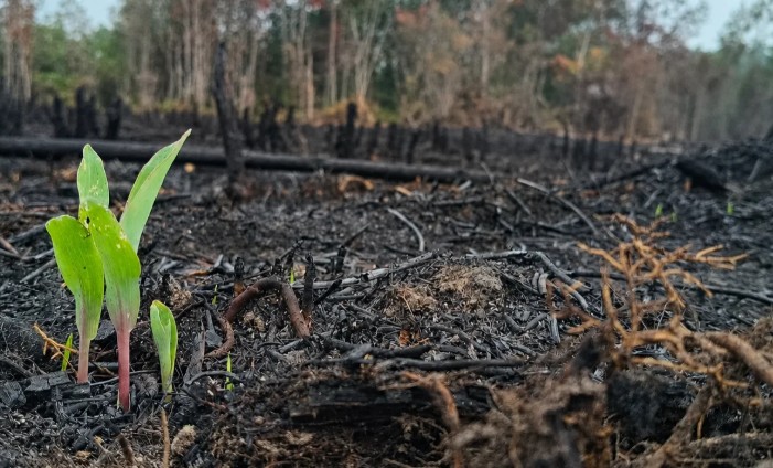
Climate change forces the transformation of traditional forest management methods in Chile. This was stated by Rafael Navarro-Cerrillo, an academic from the University of Córdoba, Spain, during his participation in the X Chilean Congress of Forest Sciences, held at the Catholic University of Maule (UCM).
The specialist emphasized that forest ecosystems face environmental conditions radically different from those of the past, which requires updating prevention and management strategies. "We cannot continue managing our forests exclusively with the criteria of the past," said Navarro-Cerrillo, who advocated incorporating technological tools that allow anticipating risks and making decisions based on scientific information.
Satellite and LiDAR technology to identify vulnerabilities
According to the researcher, a key priority is to identify the most vulnerable forest territories through satellite images, climate data, LiDAR technology, and field observations. These tools allow detecting water stress, assessing tree vitality, and recognizing areas exposed to droughts and fires, facilitating timely interventions adapted to each ecosystem.
Regarding fire prevention, Navarro-Cerrillo highlighted the need to use simulation models to identify critical areas and optimize available resources. "It is not about reducing fuel indiscriminately, but about identifying places where interventions have greater effectiveness in modifying fire behavior and facilitating extinction efforts," he explained.
Forest geomatics: integration of data and institutions
During the congress, the academic addressed forest geomatics, a discipline that integrates drones, satellite images, and geographic information systems to study the evolution of forests. He identified four challenges for Chile: improving data integration between institutions, expanding available public information, strengthening public-private collaboration, and incorporating digital competencies in the training of forestry professionals.
Navarro-Cerrillo stressed that geomatics should not be understood solely as a set of technological tools, but as a new way of analyzing forest ecosystems and supporting management decisions. He valued the scientific and technological capabilities developed in Chile and highlighted that congresses like this one allow connecting scientific knowledge with real problems of the territory.
"Geomatics provides us with an extraordinary capacity to know what is happening in our forests, but decisions and actions on the territory remain our responsibility," concluded the Spanish specialist.
Source:Reporte Agrícola


Comments (0)
No comments yet. Be the first to comment!
Leave a comment