

The coast of the Maule Region is a territory of high endemism and biodiversity. There, native forests where species such as the hualo and the queule live are immersed in a heavily fragmented landscape, where few remnants remain that have not been intervened in recent decades.
This is demonstrated by a new study published in the scientific journal ISPRS Journal of Photogrammetry and Remote Sensing, which identified only three forest fragments without signs of human intervention during the last 40 years, out of a total of 22 patches analyzed in this area of central Chile.
The research was developed by Sebastián Landeros, from the Faculty of Agricultural Sciences of the University of Chile and the Center for Climate and Resilience Research (CR2), and was supervised by academic Álvaro Gutiérrez, who also belongs to the Institute of Ecology and Biodiversity (IEB), and by Mauricio Galleguillos, from the Pontifical Catholic University of Chile and CR2.
The work focused on the Maule coast, mainly in the Cauquenes area, where Mediterranean forests are surrounded by a landscape dominated by forest plantations and subjected to various threats, including the plantations themselves, forest fires, logging, drought and climate change.
"It is estimated that less than 20% of the planet's forests would be without recent human intervention. A relevant question is to know where these remnants are and what area they occupy. In that context, we tried to map all the native forest remnants that we could identify in this area of Chile and study their structure, considering as intact those without intervention in the last four decades," explains Álvaro Gutiérrez.
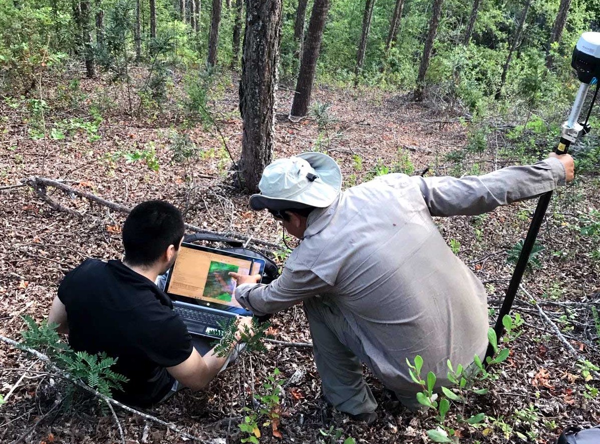
To identify these fragments of native vegetation, the researchers combined information obtained through satellites with data collected directly in the field. This strategy allowed them not only to locate the forests, but also to reconstruct their history and characterize their structure.
Sebastián Landeros, a renewable natural resources engineer, points out that they first surveyed the remnant fragments of native forest in the basin, being able to verify that most have the hualo (Nothofagus glauca) as the dominant species. "We also found very large oaks and very tall peumos in the intact forests. Some reached more than 20 meters in height. In the altered patches, on the other hand, we observed a greater introduction of exotic species, mainly pine and some eucalyptus."
Álvaro Gutiérrez highlights that these intact patches are small, on the order of 10 hectares, and are inserted in a landscape dominated by forest monocultures of the exotic species Monterey pine. "The native forest patches have greater biomass, trees of larger dimensions in diameter and height, and also a greater species richness," he states.
Regarding the intervention of these forests, the clearest sign they found in the field was the presence of stumps, that is, the parts of the trunks that remain after a tree has been cut.
Likewise, they found some pines in two of the three intact patches. "Fortunately, they were not so scattered, but they were large trees. They were at least about 20 years old and measured between 20 and 25 meters tall," describes Landeros, who developed this study within the framework of the Master's in Territorial Management of Natural Resources of the Faculty of Agricultural Sciences of Uchile, with the support of a scholarship provided by the IEB.
Looking at the forest from space
To complement this information, the researchers used two technological Earth observation sensors. One of them was Landsat, a family of satellites developed through a joint program of NASA and the United States Geological Survey (USGS). Its main contribution was to look back in time and reconstruct how the landscape had changed during the last decades.
"Landsat allows us to have a history of what had happened in the place during approximately the last 40 years. We used it mainly to diagnose whether the forest had been intervened during that period, for example, through deforestation or cuttings," explains Gutiérrez, a forest engineer and doctor in Natural Sciences.
The second tool was GEDI (Global Ecosystem Dynamics Investigation), a sensor that was launched into space at the end of 2018 and that uses laser light pulses to measure the three-dimensional structure of forests, allowing information such as tree height and vegetation distribution to be obtained.
Both Landsat and GEDI generate information that is available to the scientific community, a milestone especially relevant in countries like ours. "The value of this information being openly available is enormous. One of the main problems we have in Chile, to understand the state of our forests, is our monitoring capacity," comments the principal investigator of the IEB, a center that has funding from the National Agency for Research and Development, ANID.
With this background, Sebastián Landeros assures that one of the greatest contributions of this research was to demonstrate that satellite tools can be used to evaluate forest characteristics and develop a workflow that allows distinguishing intact forests and that can serve as a guide to apply this technology in other territories.
"The same results will not necessarily be obtained in all forests, because each territory has its own characteristics and difficulties, but a guideline can be established that allows continuing to research and monitor these ecosystems," he emphasizes.
A landscape that needs protection
The researchers warn that the Maule coast has high conservation value, but that existing protection mechanisms do not necessarily ensure the effective preservation of all native forest remnants.
"On the Maule coast there are some reserves, such as Los Ruiles National Reserve and Los Queules National Reserve, but not necessarily all conservation figures ensure the same level of preservation. Therefore, it would be important to have mechanisms that allow these ecosystems to be effectively protected. In fact, the fact that we have recorded only three intact remnants is quite serious," Gutiérrez emphasizes.
Given this scenario, he proposes that the objective should not only be to conserve the three fragments identified as intact, but also the other 19 patches studied. Although these present different degrees of intervention and many are on private lands, they continue to form part of a landscape of high biodiversity, where species that are in vulnerable or endangered conservation categories live.
Among them are the naranjillo and the queule. The latter species only grows on the Maule coast and its distribution has been considerably reduced. Added to this is the presence of species from the temperate rainforest and the sclerophyll forest, which enter these environments and establish interactions with wildlife and other species of trees, plants and shrubs. For all this, the deterioration of these fragments not only affects the trees that compose them, but can also alter relationships between species and generate greater biodiversity loss.
In this context, the authors of the study point out that the evidence obtained can contribute to improving public policies, provide information to landowners, help design mechanisms to protect these forests and be useful for the ecological restoration of this territory.
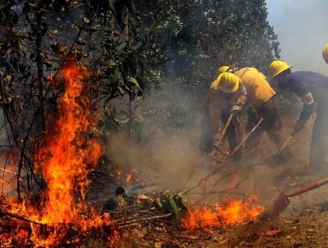
Having this information is also crucial in the face of the threats these ecosystems face, such as the expansion of invasive exotic species from monocultures adjacent to the native forest, forest fires and logging -including the illegal extraction of wood to obtain firewood or produce charcoal-. Added to this are climate change and the intensification of drought conditions.
Finally, Gutiérrez assures that it is a priority to improve the management of areas surrounding native forests, including fire prevention measures by the forestry industry, such as the use of firebreaks. The latter would be an important step to curb the degradation of this valuable natural heritage.



Comments (0)
No comments yet. Be the first to comment!
Leave a comment