

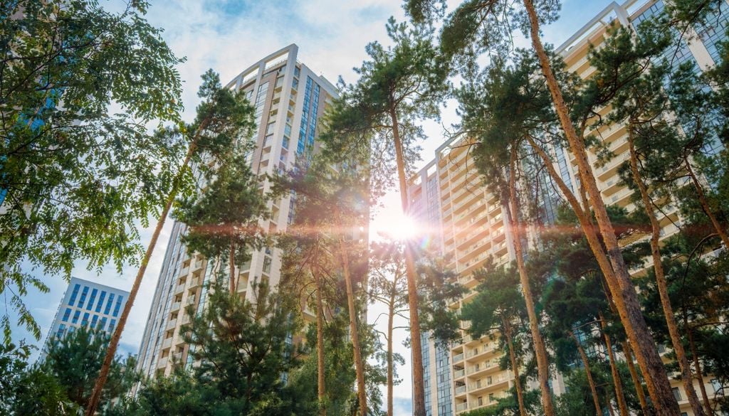
Trees perform essential functions in cities: in addition to filtering the air and being a habitat and food source for numerous animal species, in summer they are key to mitigating the heat island effect, lowering temperatures by up to 10 ºC.
However, many urban administrations do not know precisely which trees they have or where they are. Their inventories are incomplete or outdated, which makes it impossible to know precisely which species have been planted and where they are.
Faced with this, a researcher at Vrije Universiteit Brussel trained an AI that makes it possible to identify them from the air, through aerial and even satellite images. The technology could help cities better map their trees and their biodiversity, making the urban environment as livable as possible, especially in the face of the impact of climate change.
How to train an AI to distinguish one tree from another
The work was carried out with images from the Brussels-Capital region and combined satellite images taken at different times of the year with highly detailed aerial photographs.
Deep learning was used, a subfield of artificial intelligence and machine learning that uses artificial neural networks with multiple layers to process data and recognize complex patterns in a way similar to the human brain. The system was trained to recognize different tree species from images.
According to Robbe Neyns, creator of the system, by combining different types of images, the model received enough information to distinguish between tree species, based on their characteristics and their annual cycle. With this, a kind of digital tree expert was achieved that can help identify the location of each tree on a large scale.
The technology was also used to search for food for wild bees in the city of Braunschweig, Germany. There, they mapped willow trees to investigate Andrena vaga, a wild bee that depends heavily on the pollen of these trees. By combining the tree map with other environmental factors and observations of bee nests, they were able to predict which areas of the city offered a suitable habitat.
Trees under pressure: heat, pollution and pavement
Another of the applications with which the model was tested was the study of the health of the city's trees. Neyns related the information on tree species with urban heat, air pollution and urban pavement, which made it possible to investigate the impact that these forms of urban stress have on the annual growth cycle of different tree species.
The research demonstrated how satellites, aerial photographs and AI can do much more than just count the amount of vegetation in a city. By knowing the species involved, scientists can better understand which trees thrive in each place, how they respond to climate change and what role they play for other species. This information is key for cities that want to plant more trees as a protective measure against increasingly hot summers.
"Cities that are currently participating in large-scale reforestation projects in response to climate change face a dilemma: not only how many trees to plant, but also which species to plant and where," said Neyns. "We hope this technology facilitates access to this information," added the researcher.
Source:Meteored



Comments (0)
No comments yet. Be the first to comment!
Leave a comment