
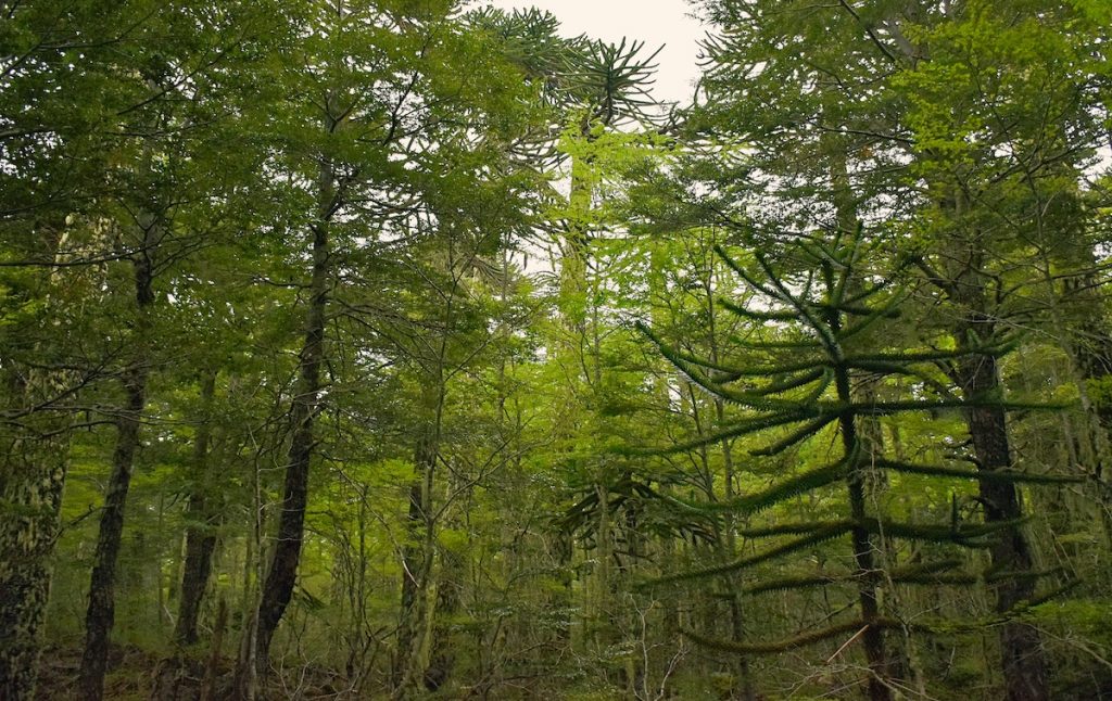
The protection of native forest in La Araucanía gains a new high-tech tool. Through the use of satellite images from the Sentinel-2 constellation, the National Forestry Corporation (Conaf) is strengthening territorial monitoring to promptly detect agricultural burns, optimize inspections, and prevent damage to ecosystems of high environmental value.
In a region where agricultural activity closely coexists with extensive areas of native forest, the institution has incorporated remote sensing techniques that allow identifying sectors with recent evidence of fire from space, supporting the work subsequently carried out by inspection teams on the ground.
By calculating the Normalized Burn Ratio (NBR), derived from these satellite images, Conaf can detect anomalies associated with recent fires or burns, identify agricultural properties where these activities take place in areas near native forest, verify in their systems whether they have the necessary authorizations, and analyze whether the technical prescriptions required by current regulations were followed.
Additionally, this information allows focusing inspections, guiding technical teams directly to points where there is a higher probability of non-compliance or impact on forest resources.
The head of the Monitoring Section of Conaf La Araucanía, María Alejandra Salazar, highlighted that the incorporation of these tools represents a significant advance in strengthening preventive management and environmental inspection. "Today, technology allows us to observe the territory with a level of detail that was unthinkable a few years ago. Thanks to satellite images, we can promptly detect sectors with evidence of fire, support the work of our inspectors, and better protect the native forest."
A burn carried out without the proper conditions can lead to forest fires that irreversibly affect native ecosystems, biodiversity, watercourses, and habitats of protected species, generating environmental consequences that transcend the directly damaged area.
In this context, Conaf reiterated its call to landowners and fire users to promptly register their burn notices, respect authorized conditions, and adopt all necessary preventive measures to prevent the spread of fire towards the native forest.
The combination of satellite technology, on-the-ground inspection, and citizen responsibility today constitutes one of the main strategies to move towards more efficient territorial management and better protection of the forest heritage of La Araucanía.


Comments (0)
No comments yet. Be the first to comment!
Leave a comment